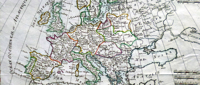
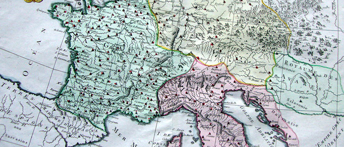
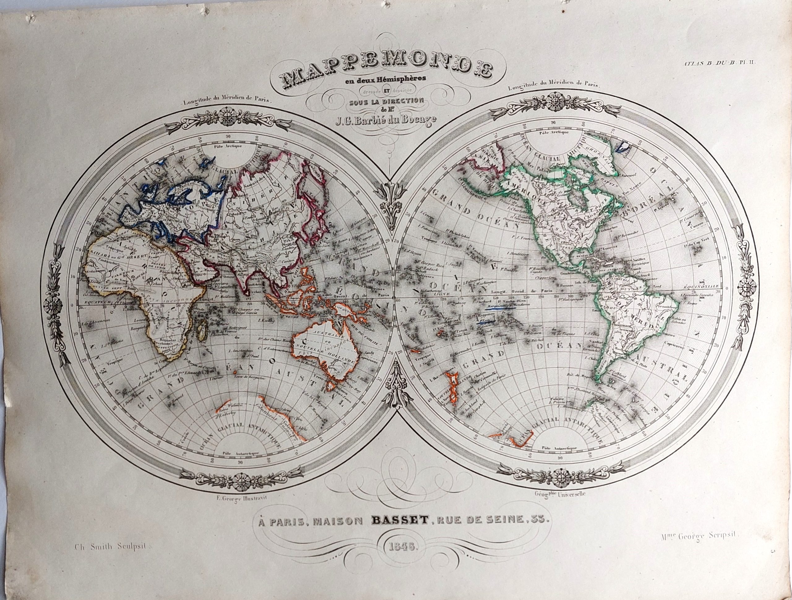
All the items shown are original, published on or about the dates shown. I don’t sell modern reproductions. I do sell interesting, unusual and inexpensive antique maps of all parts of the world.
Click on one of the areas listed below to start.
4096
4106
Announcements:
Orders are usually sent within 24 hours or the next working day.
A tracking number will be emailed as soon as an order is sent. I can be contacted at simon@antiquemaps.org.uk